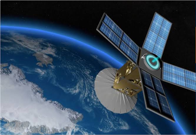
Impact of Kenya's Taifa-1 Satellite

Taifa-1 has enabled precision monitoring for over 150,000 hectares of farmland in Kenya. Satellite imagery has helped predict crop yields with 95% accuracy and identify irrigation needs for over 30% of farms in arid regions.
Data from Taifa-1 has improved early warning systems, allowing authorities to respond to floods and droughts more efficiently. For example:
- Drought mapping covered 40,000 km² of the country in 2024.
- Flood-prone areas monitoring increased response speed by 30%.
- Environmental land-use tracking helped reduce deforestation by 12%.
Researchers and urban planners now use Taifa-1 data to:
- Map urban expansion in Nairobi and Mombasa for sustainable development.
- Track water bodies and wetlands for ecological protection.
- Support studies in climate change and environmental science.
The satellite program has created:
- Over 200 jobs in satellite engineering and data analytics.
- Enhanced crop insurance programs using satellite data.
- Empowered local universities and research institutions with real-time satellite access.
Following the success of Taifa-1, Kenya plans to launch additional satellites with specialized sensors for communication, weather, and high-resolution imaging. This will further enhance agriculture, climate monitoring, and urban planning across East Africa.

